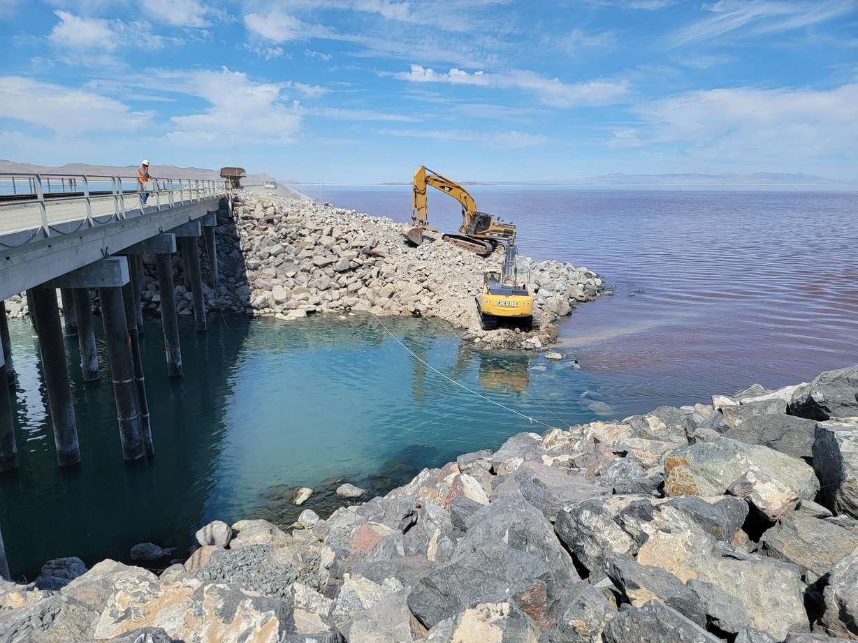
OGDEN — Utah land managers said Thursday they've recently raised a berm underneath the railroad causeway that stretches across the Great Salt Lake in an effort to thwart rising salinity levels that threaten the health of the lake.
A team with the Utah Division of Forestry, Fire and State Lands and the Utah Division of Water Resources modified the berm by a 180-foot breach in the causeway where the water flows between the northern and southern arms of the lake, raising the berm by 4 feet. The effort is expected to help reduce the rising levels of salinity, especially on the southern arm of the lake.
"It's exciting to see this project designed and constructed so quickly to help manage the salinity levels," Eric Dixon, design and construction section manager at the Utah Division of Water Resources, said in a statement.
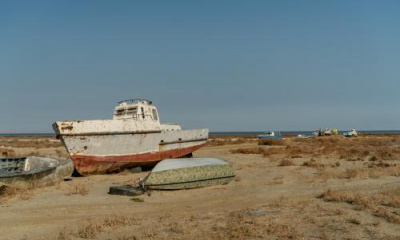
causeway has existed at the lake for over a century. It started with the Lucin Cutoff that the Southern Pacific Railroad completed in 1902, which eliminated the need for a rail route above the Great Salt Lake in western Box Elder County. This project crushed the railroad towns that once existed in the region by taking some of the original transcontinental route off track.
Then, in 1959, railroad crews replaced the 12-mile wooden bridge portion of the route with a rock-filled causeway, which then altered the lake as Utahns know it. This adjustment included a pair of culverts to allow water to flow between the two arms but both eventually sank and were abandoned.
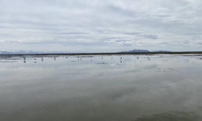
This ultimately caused a difference in salinity levels on either side of the structure, resulting in a visible difference in lake colors. The southern arm has water from the Jordan, Bear, Ogden and Weber rivers that keep it blue, while the northern arm's higher salinity mixed with algae and halophiles causes it to have a reddish hue, state wildlife biologists note.
It wasn't until 2016 that the 180-foot breach was installed to restore flow between the two arms, though, the color differences still remain.
However, as the lake continues to shrink to all-time low levels, the southern arm is getting saltier. State land managers say this is because the northern arm's water is heavier and is pushing higher concentrations of salt into the southern arm. There also hasn't been enough fresh water coming in from the four major tributaries to balance out the salt — a bad situation for the lake's ecosystem, said Laura Vernon, Great Salt Lake coordinator at the Division of Forestry, Fire and State Lands.
"The salinity of Great Salt Lake plays an important role in shaping the lake's unique ecological, recreational and mineral resource use. Unfortunately, the decrease in freshwater inflows has led to an increase in salinity that is detrimental to these resources," she explained.
That's where the berm comes in handy. State land managers and water officials got to work at the end of July designing and constructing a raised berm that helps slow the water from the northern arm from reaching the southern arm.
It seems to be working so far, according to those involved.
"Initial readings indicate that the completed work is significantly reducing the flows of the higher salinity waters through the bottom of the channel," Dixon said.
The two agencies added Thursday that U.S. Geological Survey staff will continue to monitor the lake, which will help dictate any future work regarding its salinity levels.