Area has not been mapped since 1990s, groundwater is diminishing
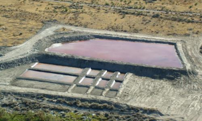
Cache Valley is highly dependent on groundwater from springs and the valley aquifer, but most groundwater wells monitored by the U.S. Geological Survey show declining water levels.
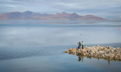
This is worrisome, since Cache Valley an integral part of the Great Salt Lake watershed, where groundwater inflow makes it to the Bear River, the lake’s largest tributary.
The groundwater “budget” for Cache Valley has not been mapped since the 1990s, and due to methods used at the time, there exists a large degree of uncertainty related to water resources.
Utah State University, the U.S. Geological Survey, the University of Utah and the Utah Department of Natural Resources want $567,400 for a study over three years which will help the state have more informed science when it not only comes to meeting population needs but how this aquifer helps serve as a lifeline for the Great Salt Lake. The official request was heard this week before the Natural Resources, Agriculture and Environment Appropriations Subcommittee, which will not prioritize its spending requests until later in the 2024 legislative session.
A coalition of other entities have stepped in to provide funding or staff, bringing the total invested in the three-year study to $726,700.
Bethany Nielsen, a professor at Utah State University, said even though the groundwater assessment methods had been refined by 2000 for application in Salt Lake Valley, Cache Valley remains overdue.
“As mentioned earlier, there’s been changes in land use and water use. Cache Valley has significantly grown and we need to account for that, also. Finally, we have to consider how our mountain aquifers and our valley aquifers are connected aspects of this area in that our mountains feed our valley aquifer.”
The need for the study grew out of meetings with local residents after Utah Gov. Spencer Cox issued a moratorium on any new appropriations in the Great Salt Lake watershed.
State engineer and water rights director Teresa Wilhelmsen met with Cache County residents and heard the uncertainty expressed when it comes to a sustainable water future.
“We found that there is a need for some additional data as we try to look at what are some solutions for this community, this particular local community and the (question of) how can we continue to work with them on a local level but provide them that additional data that they’re asking for,” Wilhelmsen told the committee.
Rep. Casey Snider, R-Paradise, praised the effort to map groundwater resources in Cache Valley.
“The work that’s coming out of Utah State on this, not just in this groundwater space, but in water in general, is on the cutting edge. And actually, we took their ability to monitor what was happening on the Logan in real time and have transferred that into a broader model so that now we can look at what’s happening system wide on the Great Salt Lake and we’re going to be making that more robust this next session,” he said.